-40%
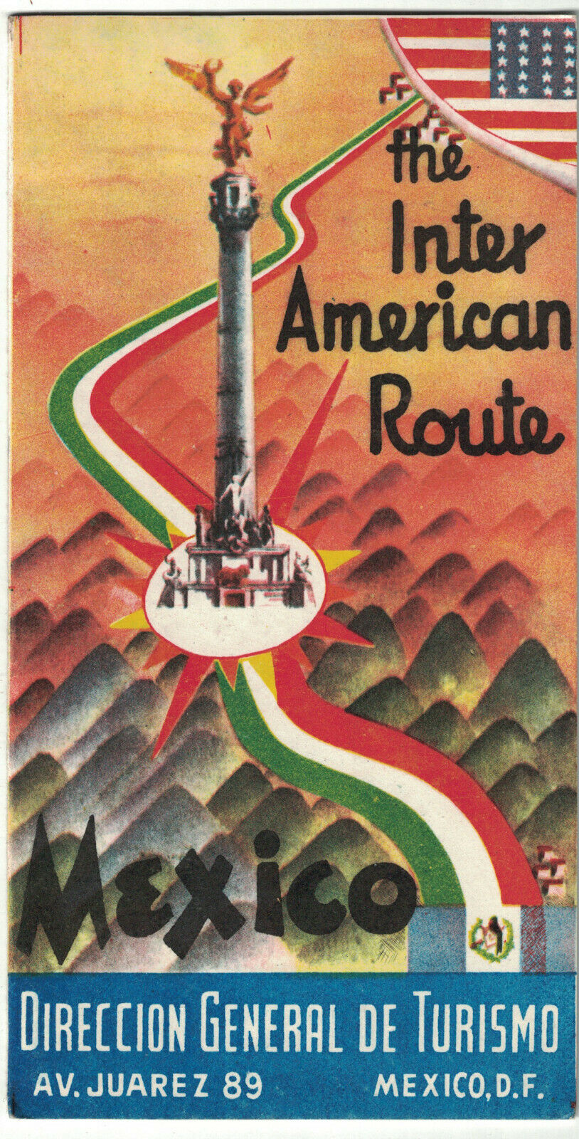
Inter American Route Mexico circa 1950
$ 15.83
- Description
- Size Guide
Description
Title:Inter American Route: Mexico
Publication:
Mexico, D. F. Direccion General De Turismo
Mexico, D. F.: Direccion General De Turismo. Very Good. Accordion folded map with text on verso housed in bright wraps. Map folds out to 8" x 36". No publication date. Circa 1950. "The Route of the Friars" which went from Ciudad Juarez to Mexico City to El Ocotal (Guatemalan Frontier). The map includes the distance and elevation of the cities and towns along the route, and the text describes the route and its history. ; 8vo 8" - 9" tall; 9 pp.


